Silver Adventurers Jan and Peter (both 74) hit the road in their caravan to explore the stunning Oxley Wild Rivers National Park, famous for its waterfalls and gorges.

Oxley Wild Rivers National Park
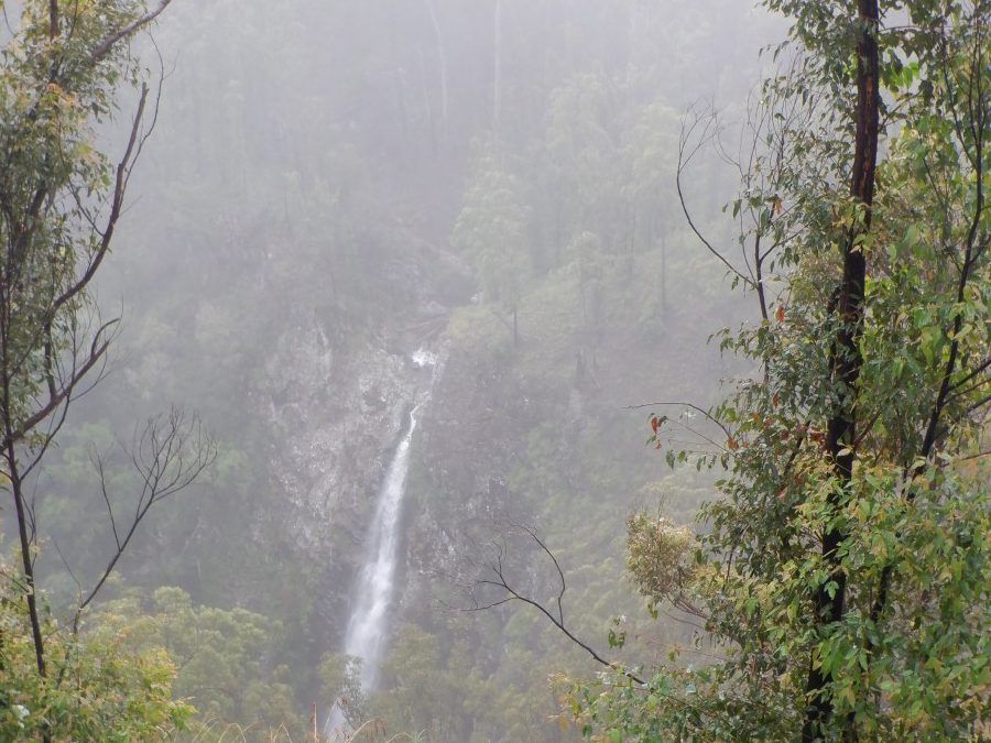
The Oxley Wild Rivers National Park is in the Northern Tablelands region of New South Wales. It is World Heritage-listed in recognition of the extensive dry rainforest that occurs within the park, and its rich biodiversity. There are at least fourteen waterfalls in the park, which are at their most spectacular after rain.
In February, heavy rain along the East Coast caused a cancellation of our fishing trip. So where to go after heavy rain? A place known for its waterfalls! Friends suggested we join the two of them on a trip to Oxley Wild Rivers National Park in our caravan, and off we went.
First Part of Our Journey in Our Caravan
The first part of the journey took us through Grafton and along the Waterfall Way to Ebor. After that, we were in new territory. We discovered that the dramatic gorges captured our attention more so than the waterfalls.
HILLGROVE
Travelling further towards Armidale in our caravan, the old mining town of Hillgrove established in the late 1880s was worth investigating. Although a number of cottages remain from its peak population of 3,000, there are interesting signboards scattered around the laneways describing the former structures. The Hillgrove Museum gives visitors a view into the rich heritage of the past. The major surprise for us was the amount of mining that took place in this rugged part of the country.
Hillgrove was once one of the major goldfields in New South Wales, exploiting a rich reef of gold. This area of gorges was operating 9 mines at one time. Also produced was antimony – used to make flame-retardant materials – and tungsten, which was profitable during World War Two for its steel strengthening abilities.
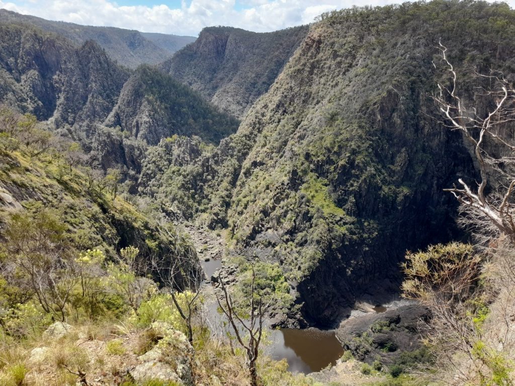
A drive along Old Hillgrove Road and a short walk from a car park took us to a viewing platform over Bakers Creek Falls. Further, around the escarpment above Metz Gorge, we looked down 490 meters to the Bakers Creek mine, still an active mining area. On the opposite wall of the gorge, large dump trucks were snaking their way up and down the steep incline to the mine below. Previously, tramways operated by steam-powered engines pulled trams up and down the precipitous incline to the Bakers Creek mines.
DANGARS GORGE CARAVAN TRIP
Our camp for the next few days was at Dangars Gorge in the Oxley Wild Rivers National Park, just a short drive out of Armidale. It is the most spectacular area of this National Park. The campground is on the edge of the Great Escarpment on the western side. The seven campsites are well set up with individual picnic tables and fireplaces with firewood supplied. Our evenings were spent barbecuing our dinner on a campfire under starry skies.
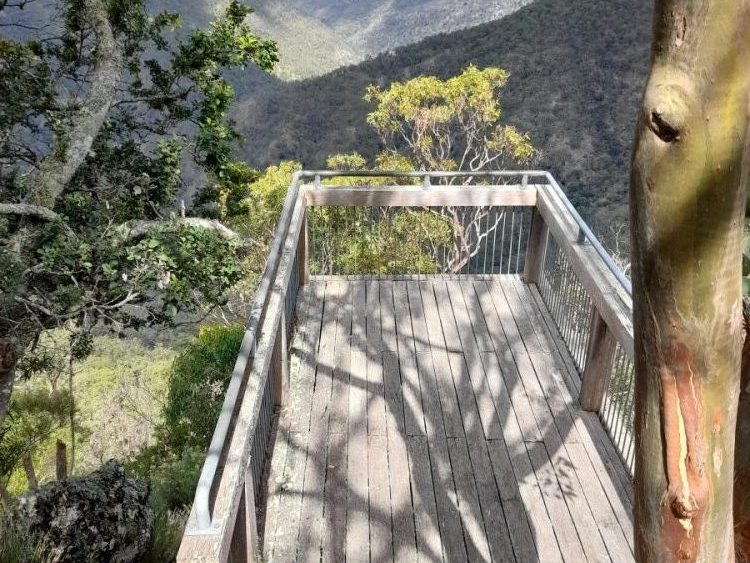
The scenic lookout near the day-use area revealed the dramatic Dangars Gorge and falls. The 120-metre drop to the bottom of the gorge is awesome. An information board informed us that eels migrate down the perilous descent of these waterfalls and out to the Coral Sea to breed in saltwater. Their homing instinct guides them to return after breeding, swimming back up the rivers. They have been observed climbing up through the damp grass. Moreover, at night next to Dangers Falls. To get to the higher reaches of the river. After a major flood event, thousands of eels get washed over the falls and perish. Apparently, it can make the bottom of the falls smell quite terrible.
HIKING TRAILS
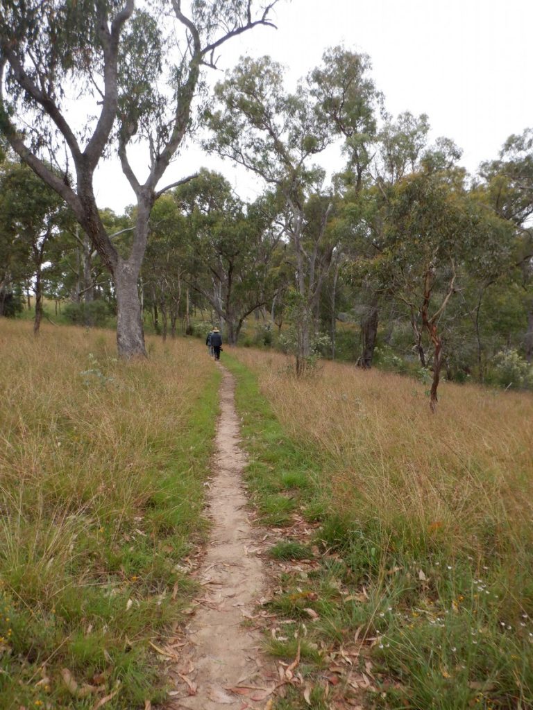
We hiked around the edge of the gorge. To impressive views from McDirty’s Lookout at the northern section of this World-Heritage listed area. There were various viewing platforms along the trail. On the return hike on an overgrown track, we could see our campsite across the other side of spectacular views into the deep ravine in front of us. At a junction, we diverted through woodland, open fields, and following a fence line, found Mi Hi Falls. We were rewarded with a view, from another platform, of water plummeting into the bottom of the gorge. A tired foursome of seniors returned to camp that evening after hiking 10.5 kilometres.
The birdlife in this area was plentiful. In the last couple of days, we encountered a spotted quail thrush. Additionally, king parrots, and a flock of white-winged choughs, amongst many other more common species.
Second Part of Our Journey in Our Caravan
GARA RIVER
We moved on the next day in our caravan. The Blue Hole picnic area and popular swimming hole on the Gara River. A short drive north-east of Armidale, was a pleasant spot for morning tea. There are remnants of a dam here. It was part of a historic hydroelectric scheme to power the mines. It is the town of Hillgrove in the late 1800s. Amazingly, the dam was built with a timber framework, faced with a rock and a core of gravel and clay. Over the years floods have destroyed most of the dam wall. 100 metres downstream is a concrete weir, built to divert water into an aqueduct or flume which took it 2.5kms from here to the power station in the gorge.
Trelfell Walking Track
The circular Trelfell walking track follows the line of the flume staying close to it for most of its length. Further along the track at the Gara Gorge lookout, high above the Gara River, we gazed across the rugged wilderness below.
GIBRALTAR RANGE NATIONAL PARK
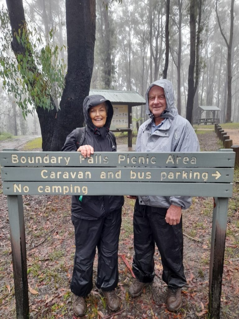
At Glenn Innes, along the New England Highway, we called into the Tourist Information Centre. The well-informed assistant imparted his wide knowledge of the National Parks ahead. He mentioned this year’s Celtic Festival, which was cancelled in 2020 due to Covid, would go ahead this May. A couple of years previously we took part in this celebration of Australia’s Celtic Pioneers. The 40 granite monoliths of the Standing Stones here, unique in the southern hemisphere, are central to this interesting celebration. However, we made an overnight booking at the Boundary Falls camping area in the Gibraltar Range National Park. Located just a short drive off the Gwydir Highway.
In 1938 a sawmill here employed workers and included a dormitory, kitchen, two houses and single huts. They were all moved to Armidale when the mill closed. One of the relics still on view today is the steam engine that powered the mill.
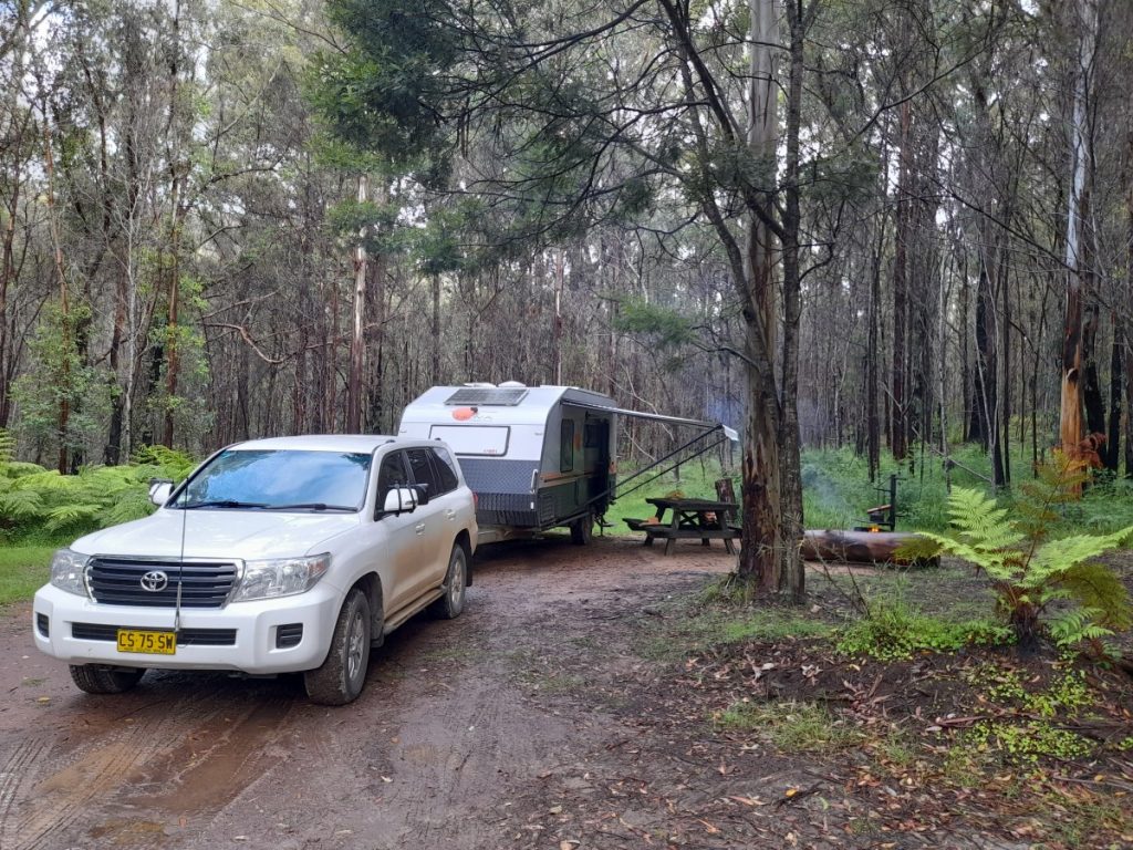
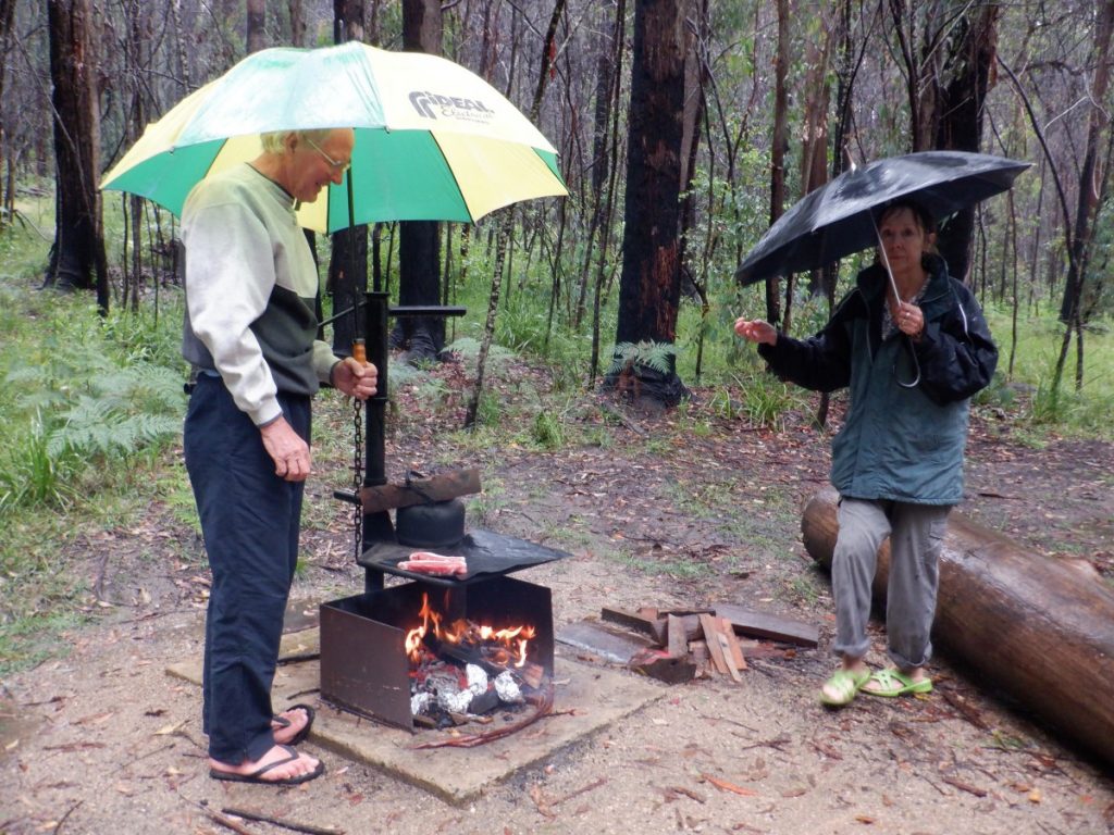
Unfortunately, the heavy rains that had been lashing the north coast area of New South Wales penetrated into this region. Not to be deterred, the camp was set up in a very muddy area. Also, we managed to cook our dinner on a campfire whilst sheltering under umbrellas. Donning our wet weather gear the next morning, we were determined not to miss two more waterfalls. That also within easy walking distance.
Boundary Falls In Our Caravan
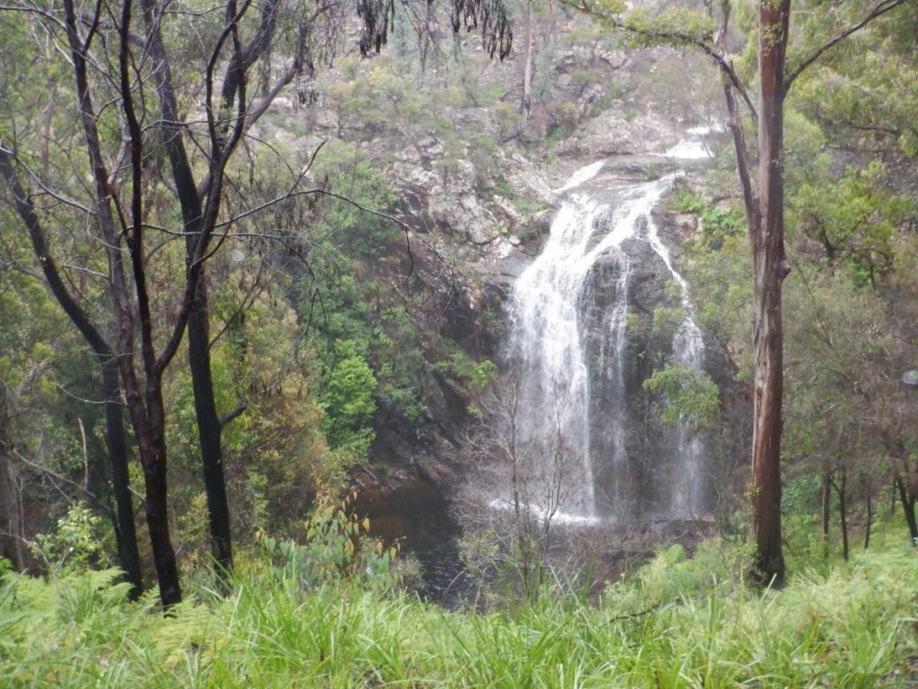
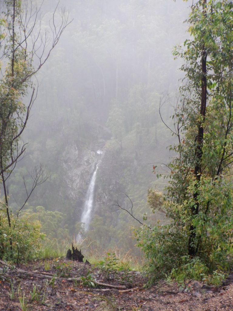
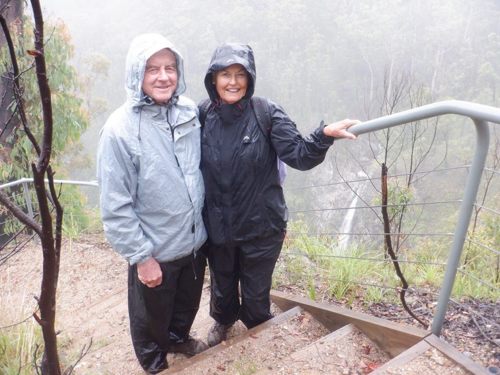
There was plenty of water over the Boundary Falls. Easily viewed from a platform at the edge of the day-use area. Recent fires had destroyed some of the signage. But, with a bit of searching around, we found the track to Lyrebird Falls. The 2.1km hike in the pouring rain was well worth the effort. To view plenty of water over the long drop.
On the southern side of the Gwydir Highway, still in the Gibraltar Range National Park. A well-formed gravel road gave us easy access to Mulligans camping area. It is very well facilitated with large individual sites. Flushing toilets (rare for a National Park) and the lovely swimming hole in Dandahra Creek. There was a wonderful choice of varying hikes for us during our few days camped here.
William Mulligan and His History
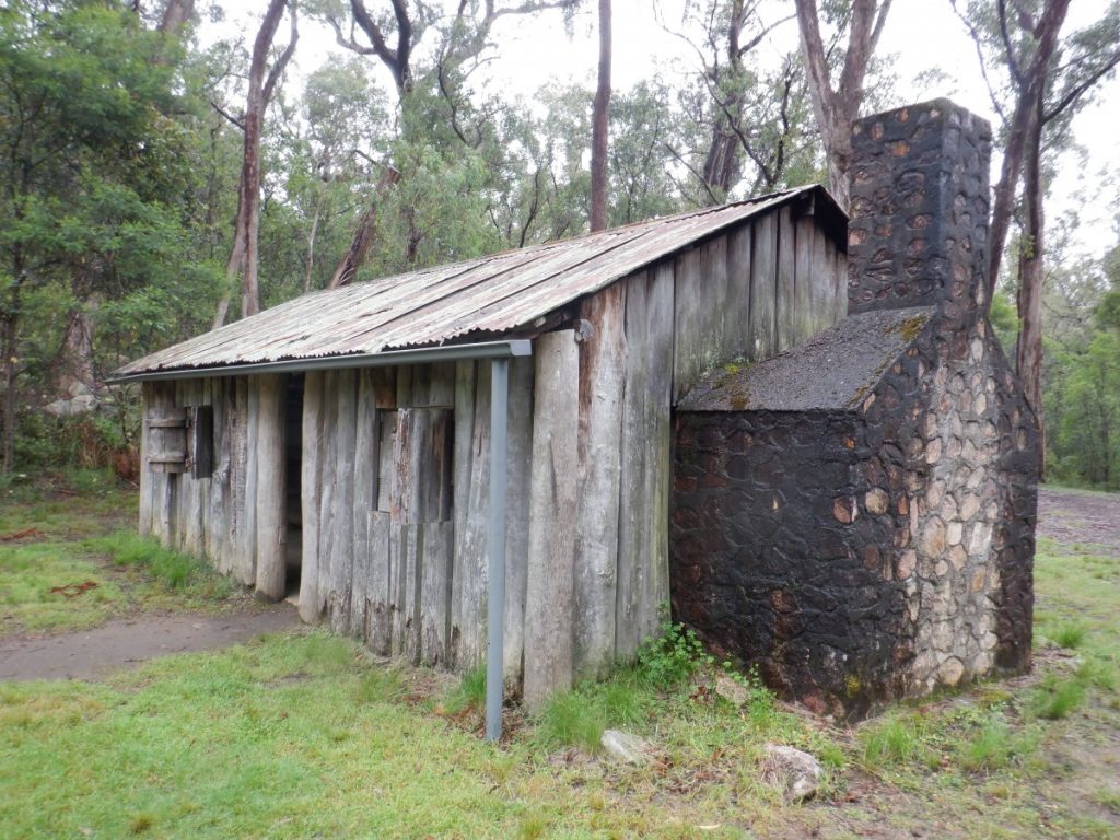
William Mulligan, who the campsite is named after, was a prominent citizen in this area. At the turn of the century. He built slab huts, one of which has been restored by the National Parks and Wildlife Service. He was a mining engineer. Moreover, he proposed a hydroelectric scheme by building dams on the north and south arms of the creek. Additionally, he also proposed installing a power station after sending the water 600 meters over the escarpment. We viewed the concrete weirs that were built in the 1920s. In an endeavour to measure the flow of the water. Unfortunately, the necessary funding to complete the scheme was not available following the war years.
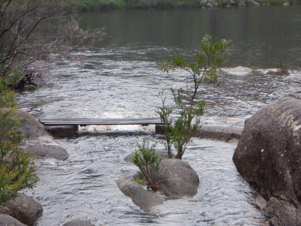
With it still raining, we lunched in one of the attractive picnic shelters in the day-use area. Where an assortment of birds including a treecreeper, yellow robins and a pretty rufous fantail entertained us. A 120-metre walk from there took us to the Burra Nulla Cascades. This is quite a pretty section of the creek where the water cascades over and through large boulders.
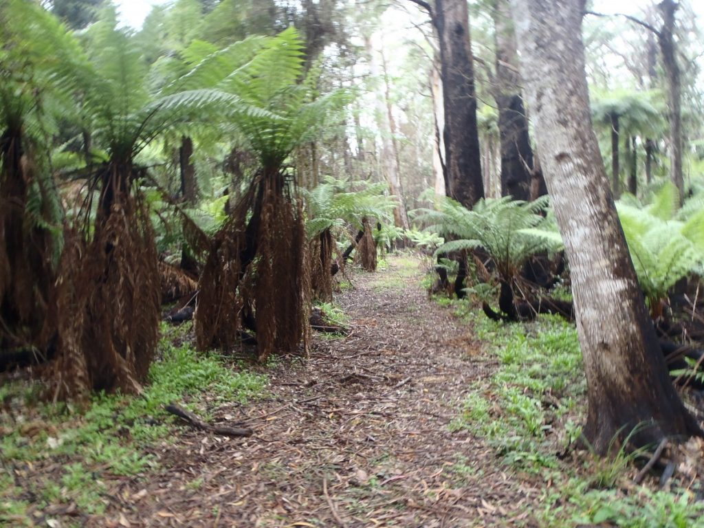
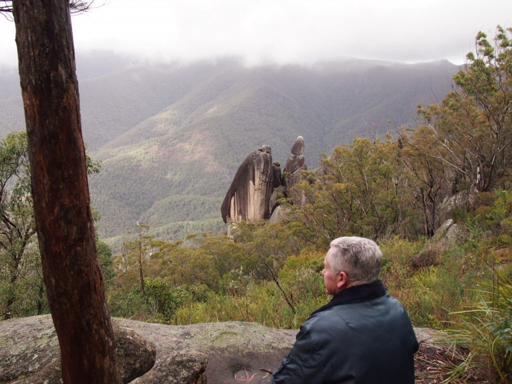
Another day and a 6km hike on a medium grade track took us through a blackbutt forest. Before climbing higher through the rainforest to the spectacular columns of the Needles. They rise up from the Dandahra Gorge. We enjoyed a packed lunch while taking in this panorama.
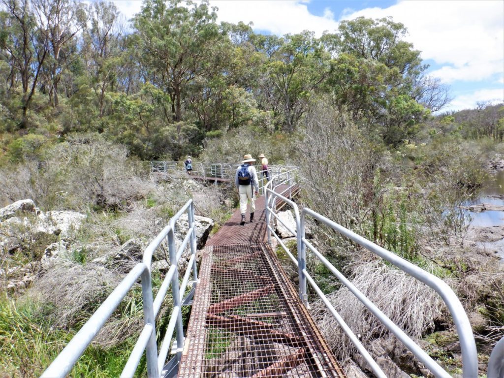
The Tree Fern Gully 8km hike, which took us 3 hours, was disappointing mainly because the vegetation had severely suffered during the recent bushfires. Our favourite of all was the Anvil Rock hike, a 4.3km return. It is a short drive from the campground to the commencement of the track which winds through large granite outcrops, balancing rocks, and across metal, grids spanning swampy areas.
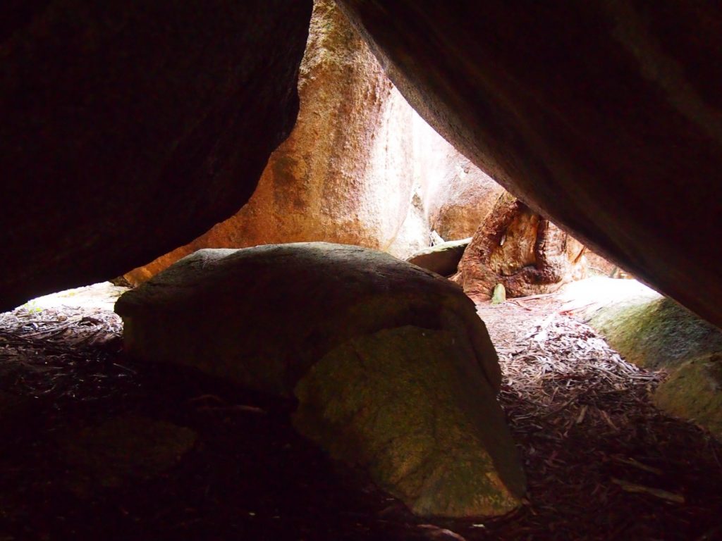
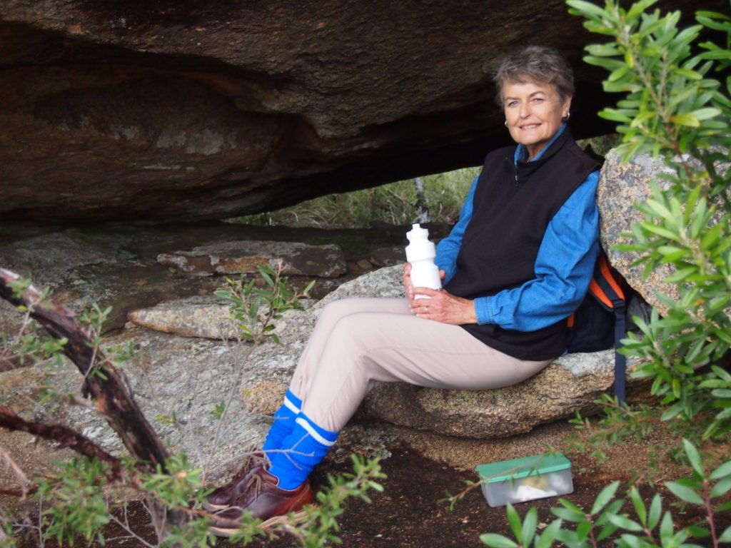
There is an easy climb when reaching the rocky outcrop at the end. Arrows mark the trail squeezing between and under huge boulders to the summit. Once again, we were buffeted by rain. Overhanging rocks sheltered us while we enjoyed the scenery and our lunches carried along with us once again.
GRAFTON
On departing Gibraltar Range National Park, we travelled along the Gwydir Highway in our caravan. Down the range through Jackadgery, and on to Grafton. From here we chose a backroad along the western side of the Clarence River through the quaint area of Southgate. The pretty farming areas revealed classic federation houses. We camped the night on the grounds of the Lawrence Tavern, for a small fee. We also enjoyed a good meal that night in the Tavern. Early the next morning we crossed the mighty Clarence River on the Lawrence ferry to Woodford Island, travelling along the riverside where a trawling fleet was anchored. The skies were clearing, and a pretty rainbow welcomed us back through Maclean, onto the highway and towards home. ■
Have you been on a recent trip? Email us at BORDER CROSSING ADVENTURES.

Editor for Silver Magazine Gold Coast
