Silver Adventurers Jan and Peter (both 73) hit the road in their caravan to explore the iconic Darling River Run.
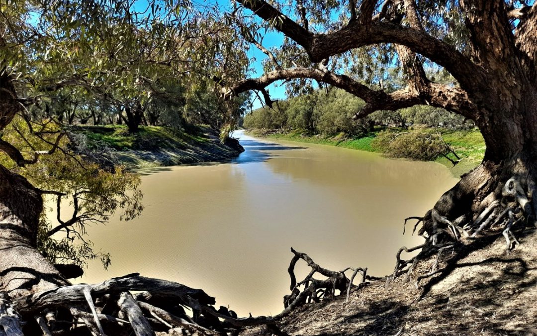
The Darling River is Australia’s third longest river. It winds 2,740km through Outback New South Wales. Part of the Murray-Darling Basin, the Darling River system is fed primarily from the summer rains of southern Queensland. It makes its journey south-west across the state to Wentworth, where it joins the mighty Murray River. The waters continue their journey to Lake Alexandrina and into the Southern Ocean.
The ‘Run’ is a 730km drive that follows the river – the ‘spine’ of Outback NSW. It is known for having the best Outback country in Australia, and is also famous for the flora, fauna, wondrous landscapes, outback characters and truly remarkable sunrises and sunsets. It is now incredibly popular with caravanners and the Grey Nomads that are living for the thrill of new places.
Following the Darling River means you can experience the towns along its course, and dabble in many side trips in the Outback. The river varies from scattered water holes in drought to 80kms wide in flood. There are unique towns (Lightning Ridge and White Cliffs), wonderful National Parks (Paroo-Darling, Gundabooka, Mutawintji, Kinchega, and Mungo), the remote Corner Country (Milparinka, Tibooburra and the magnificent Sturt National Park), and heritage towns in western NSW, like Broken Hill. We left the Gold Coast and headed southwest.
HITTING THE ROAD
The roads in the west of NSW had just opened again. They had been closed previously due to recent heavy rain in the north. It was perfect spring weather. With our off-road, solar-powered caravan in tow, we travelled via Lismore and Tenterfield. We spend our first night camped behind the Deepwater Hotel, where free camping is offered on unpowered sites.
In the hotel, we chose a table next to the warm fire in the hotel lounge and enjoyed a few drinks and chats with the locals. There was plenty of history to explore in this old stone building while we waited to be served our dinner of massive pork chops, homemade chips and veges.
Deepwater, with a population of approximately 400, is located on the New England Highway and on a railway line which closed in 1972. The old line is now part of the proposed New England Rail Trail of 210kms from Armadale to the border town of Wallangarra. The Deepwater historic railway station now hosts the local radio station.
We were not expecting the sudden drop in temperature after nightfall. To use our 240volt electric heater we moved our van closer to the hotel, plugged into a power point and gladly paid $15 for an overnight powered site. This was the coldest temperature we experienced on this trip and the only time we needed to convert from 12volt.
The next day we hit Collarenebri on the Barwon River. It is affectionally called “Cods Country” by the local population of just over 600. It is claimed to be the home of the Murray Cod and the best inland fishing location in NSW. Industries in this area are now cotton, wheat, breeding sheep and beef cattle, and gemstones for fossicking tourists. The Squatters Arms Hotel, established in 1860 by William Earl, became famous for having been held up by the bushranger Captain Thunderbolt.
BREWARRINA
Morning tea, the next day, was enjoyed in Brewarrina. The Darling River begins between Brewarrina and Bourke at the junction of the Culgoa and Barwon Rivers. We explored the fish ladder on the Barwon River. A fish ladder is a structure built to help fish migrate up a river when a dam or other blockage has been built in the way. They enable fish to pass around the barriers by swimming and leaping up a series of relatively low steps into the waters on the other side.
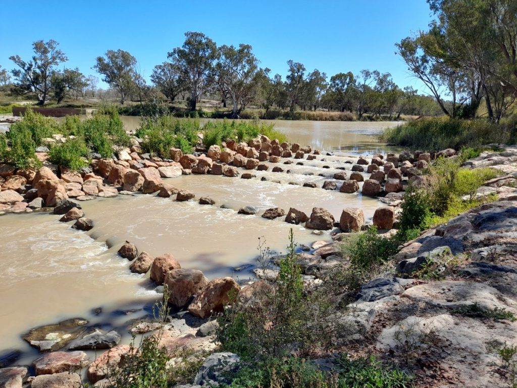
There are also some fascinating Aboriginal fish traps to see. The Brewarrina Fish Traps are a complex arrangement of stone walls in the Barwon River. Nearly half a kilometre in length, they are the largest known in Australia. They were an ingenious invention long used by Aboriginal people to catch fish. The age of these fish traps is unknown, and they may be one of the oldest human constructions in the world.
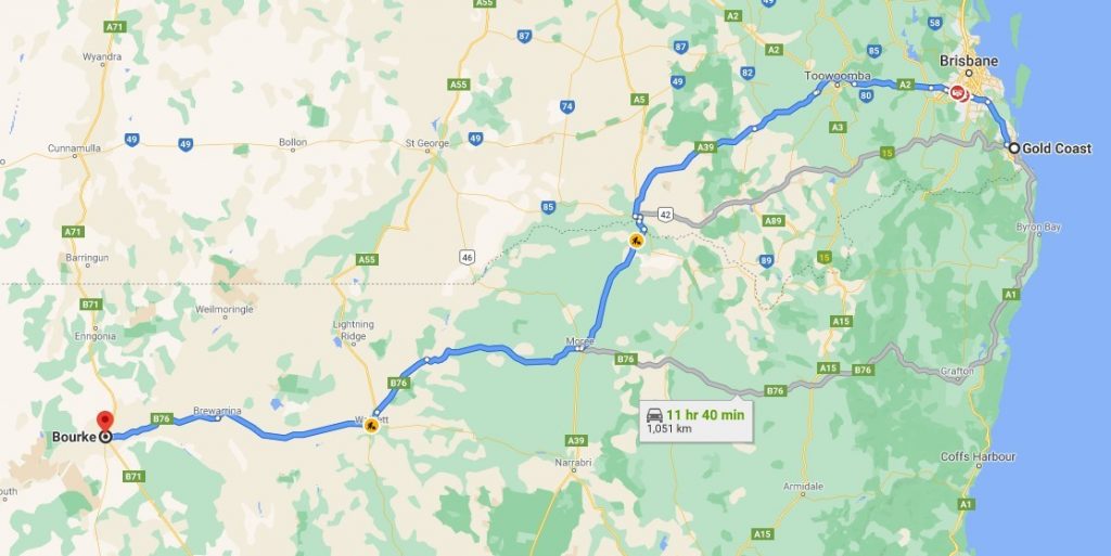
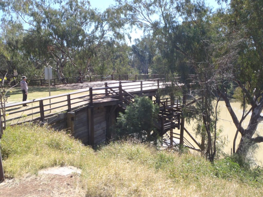
One thousand kilometres from the Gold Coast, we arrived on the banks of the Darling River at Bourke. It was time to explore the three-level wharf, which was built to cope with differing seasonal water levels. Bourke used to be a major port for paddle steamers on the Murray-Darling. Paddle steamers transported wool from the river ports, but petered out around 1920 when better transport methods developed.
We bought fresh produce from the well-stocked grocery store then travelled south for 3kms on the historic Kidman Way. It was named after Sir Sidney Kidman, a famous pastoralist and cattle king. He owned over a hundred cattle stations along what was originally a stock route. Many of these properties are still owned by his descendants. We diverted from this highway onto Louth Road and travelled along the iconic Darling River Run.
Our next choice of accommodation was ‘Rose Isle Station.’ We could either camp on a river site out on the property, or camp with facilities at the homestead. We chose an unpowered site on the green grass of the homestead. It looked too attractive to refuse after the dusty gravel roads. We stayed there three nights on this working grazing property located 70kms downstream of Bourke.
They also cater for overnight visitors with dinner and breakfast if required, or a homemade lunch pack for a day trip. On some days, homemade scones, jam, and cream are served for morning tea in the quaint campers’ kitchen. It was a pleasant spot to gather around the fire in the evenings with fellow travellers.
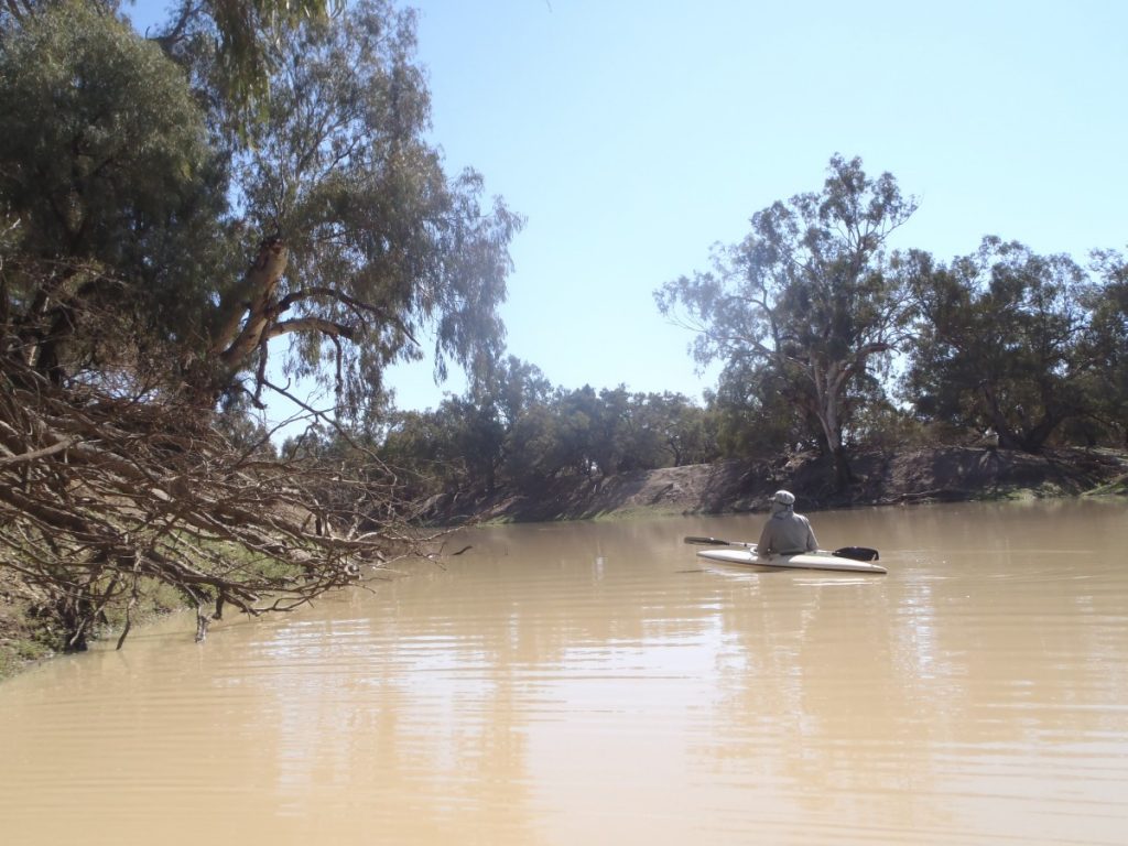
On day two we set off to paddle our kayaks on the river. We enjoyed the company of pelicans who watched us with curiosity. We found a spot for our midday lunch with tall river gums, offering some shade.
BOURKE
We planned to fill up with fuel at the next village, Louth, but were advised the hotel/fuel station was temporarily closed due to an illness in the family. Not prepared to take a risk on the availability of the next fuel, we returned 70km back to Bourke the next morning and topped up with diesel. From here we spent the rest of the day exploring Gunderbooka National Park, one hour to the south down the Kidman Way.
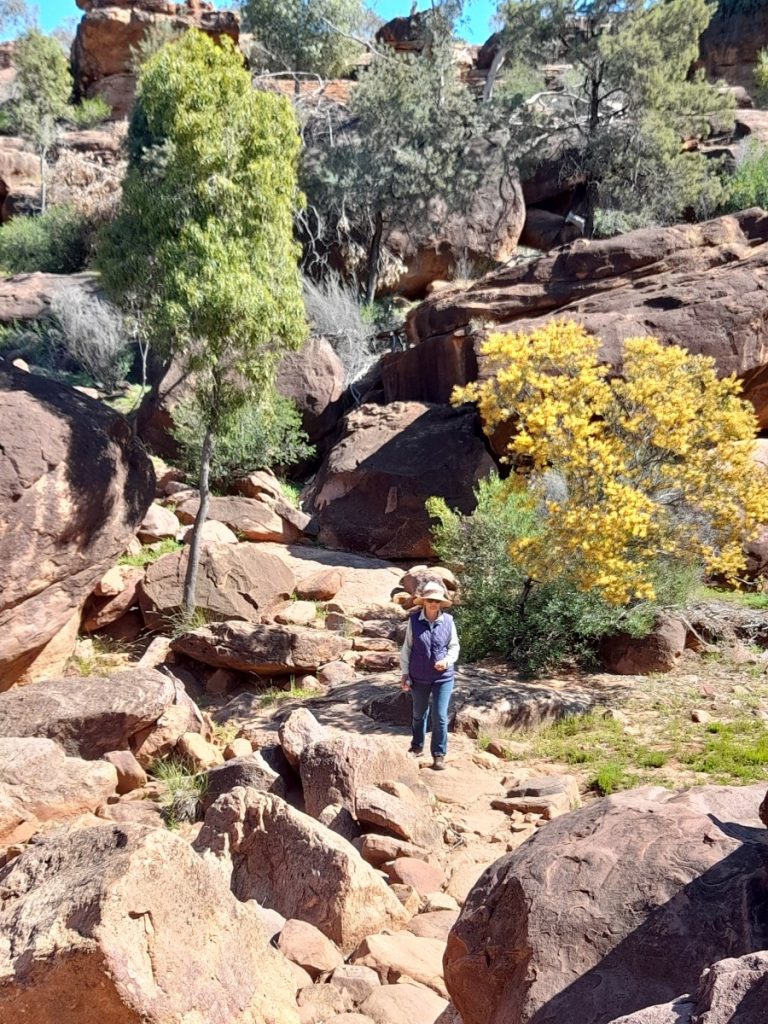
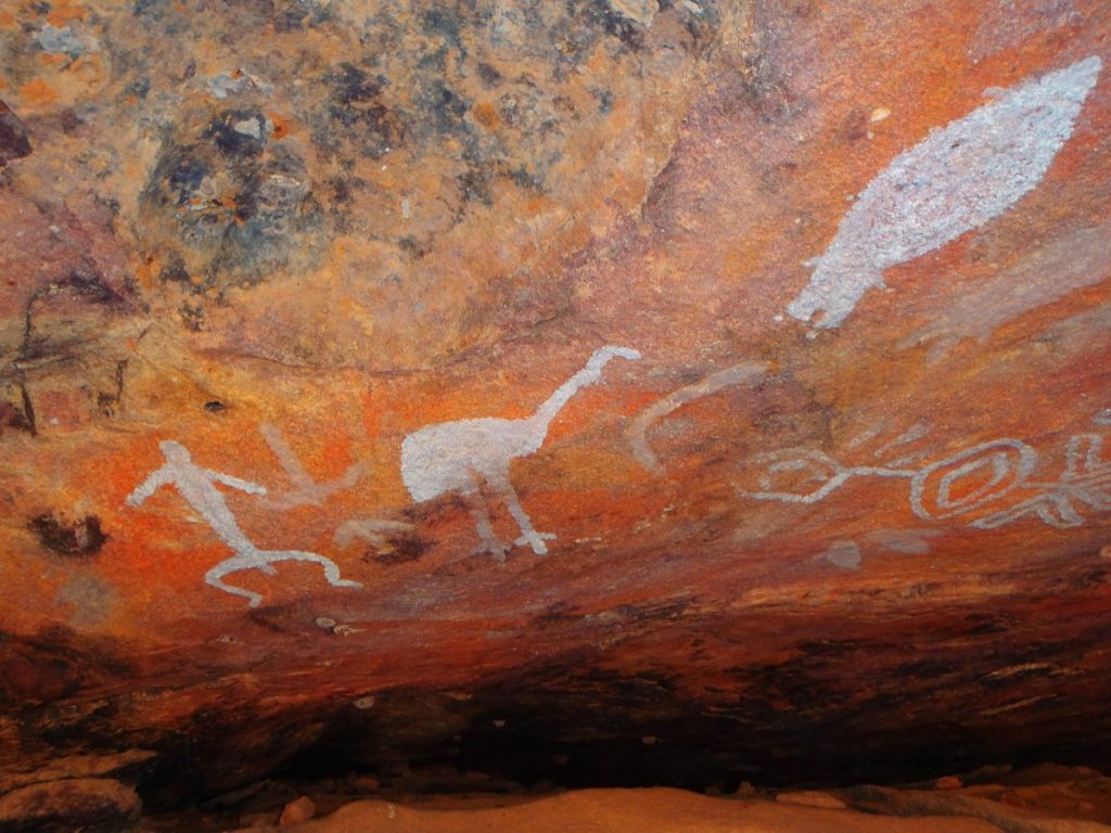
There are three main areas of the park, bounded to the north by the Darling River. The open plains are topped off by Mt Gundabooka. At the Mulgowan Site, we enjoyed our lunch at the picnic area and explored an easy path crossing a rocky bluff. It had a lovely trail between the rocks and along the course of the seasonal Mulareenya Creek. It terminated at a rock overhang which is decorated with Aboriginal Rock Art. This was a significant area for Aboriginal ceremonies. Blossoming wattle dotted yellow in the red, rocky landscape.
On the western side of the park along a red dusty road fringed with multicoloured wildflowers, we emerged at the stony Valley of the Eagles walking trail to the dry Bennetts Gorge. The view across the surrounding plains from a climb up Mt Gundabooka was vast, extending to the horizons. We had travelled in a circuit and returned to Rose Isle Station in time for sunset drinks.
LOUTH
On arrival in Louth the hotel/store was closed as predicted. The village was named after County Louth, by Irish settler Thomas Mitchell. As we wandered around the tiny village, the tall monument in the cemetery couldn’t be missed at 7.6m tall and topped with a Celtic cross. It was erected in memory of Thomas’ deceased first wife Mary, mother of his 6 children. He later married a 22-year-old Melbourne woman Mary Larkins. Despite Thomas’ accumulated wealth, life was hard out there. The isolation of the outback must have been a terrible shock for this young bride. She died 3 months later by poisoning herself with strychnine.
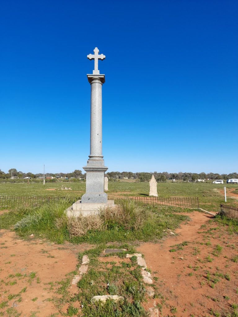
Two years later he married Susan Raey, a 33-yearold widow with 5 children. At this time he started planning the monument which took several years and 600 pounds to complete. The grey granite was quarried on Phillip Island. It took 3 years for delivery, and was initially stuck on the riverboat Jane Eliza from Echuca, which was stranded for two years at Tilpa due to drought. It was then moved by bullock team. The 1.2-metre Celtic cross was positioned so that at sunset each day an unusual halo image can be seen from various angles on the town common. On the anniversary day (19 August) of first wife Mary’s death the sun reflects from the cross to the house where Mary lived with her 6 children.
Thomas’ third wife, Susan, died 18 years after its installation. Four years later Thomas married his 4th wife Clara Childs, an English widow.
DUNLOP STATION
At Dunlop Station, 14kms south of Louth we stepped back in time. It was originally over a million acres! Its main claim to fame was that it was the first shearing shed in the world to install mechanical shearing in 1888 with 45 stands.
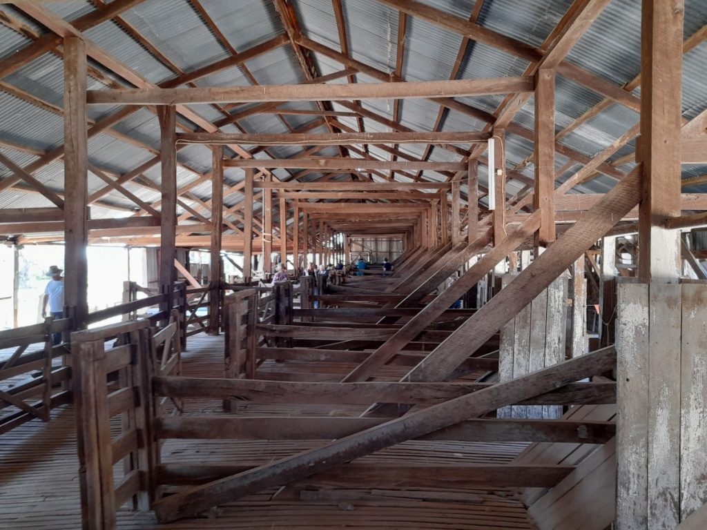
After a lovely morning tea, the Chandler family, who had purchased the property nine years ago, took us on a guided tour of the original stone homestead. It has wide verandahs with insect screens, a stone station store, and a shearing shed. Plus, it has been a massive labour of love by this family to restore this homestead and outbuildings. It was neglected for 25 years, but now it is partly back to its former glory – but it is a continuing challenge. We heard stories of mice infestations, ancient, preserved foods left in the pantry by the former owner, massive piles of books and newspapers, rooms so full of junk that the doors couldn’t be opened. We wandered through the rooms that have been restored, admired the antique furniture, the cellar, and kitchen.
In times past, supplies from the river boats were unloaded at the station store on the banks of the Darling River. They were then purchased by the many workers who once worked and lived on the property. The huge woolshed, still in operation, requires a lot of work to repair it. All the original tools and hardware are still on display. The property is now smaller than the original, and runs sheep and goats. It supplements income with the guided tours, and camping for travellers.
During drought, a car can be driven along the dry riverbed! During the last flood, the levee bank around the homestead protected the homestead but isolated the family for 3 months.
The Tilpa Pub (established 1894) is on the banks of the Darling River and was a port for the river traffic. We were amused that the outside drinking area, surrounded by corrugated iron, was called ‘Baa’.
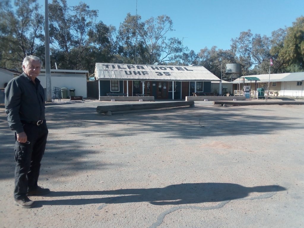
It is one of the last remaining true bush pubs. Camping is allowed across the road in a dry dusty field. Fortunately, a fellow traveller gave us a tip that the Tilpa Weir was only a few kilometres away. It was here we found a pleasant campsite on the river and enjoyed the company of 25 pelicans who rested on the rocks of the weir and waited for the unexpecting fish to swim into reach.
PAROO-DARLING NATIONAL PARK
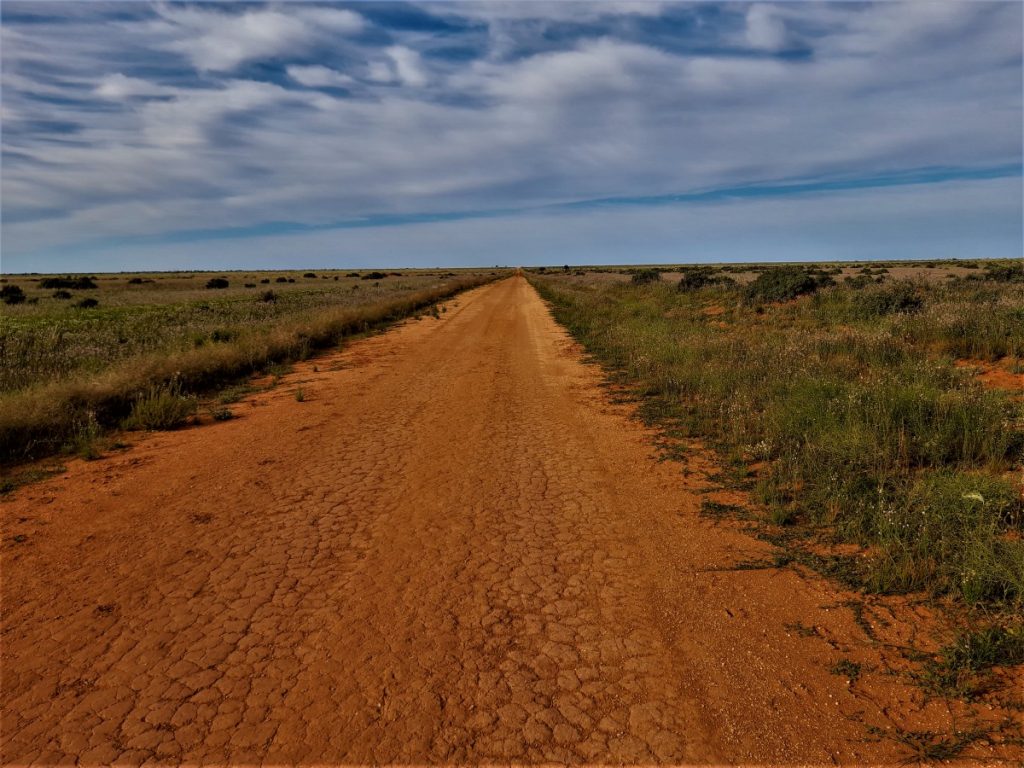
We travelled on a long, dusty, narrow, and incredibly flat road to the sparse and large Paroo-Darling National Park. The first European to explore the region was Charles Sturt and his party in 1844. They were followed soon after by others in search of pastures for sheep and cattle in the 1860s.
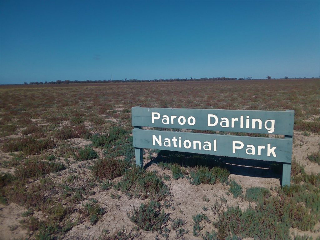
The Paroo-Darling National Park was formed after the purchase of seven properties between 2000 and 2003 by the Government of New South Wales. Stagecoach company Cobb & Co also ran several routes through this important pastoral region.
The small National Parks camping ground was well equipped and we were surprised to see it fill up as evening approached. It was disappointing to find there were no marked walking trails. However, we stayed on to spend a day paddling along the river.
WARREN AND BEYOND
We now turned for home after reaching an area we had explored on a previous occasion. As we came into the mid-west area, we were astounded by the vast expanses of canola crops. In Warren, we wandered into the Kookaburra Café for morning tea and strolled around ‘Windows on the Wetlands.’ It has a wonderful display of the bird and native species of the Macquarie Marshes. Here we received friendly assistance and directions for our following excursion into that area.
Willie Station is on the Gibson Way and on the Macquarie River. It offered a good choice of camping right at the Marshes, budget accommodation in their shearing quarters and guided tours of the birdlife. On the property are remnants of old stables buildings, and a Cobb and Co inn. They also held a Guinness Book of Records mention for George – a pet sheep that lived for 21 years and 5 months.
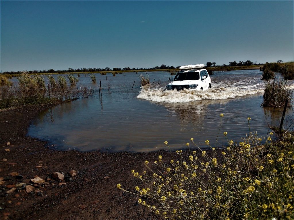
A 200km round trip from Warren took us through the Marshes. There was plenty of water following recent rain and a pleasure to see the numerous water birds. We saw Magpie Geese, Eurasian Coots and Black Swans. A Latham’s Snipe and a Pink Eared Duck were two of the more unusual ones that we witnessed. To complete the circuit back to Warren down the eastern side of the marshes, we had to ford a hundred metres width of water. This is not always the case, as the wetlands can be dry at certain times of the year. The return through the tiny town of Quambone revealed that its main claim to fame would be the smallest operational library in NSW.

Darling Paroo National Park
MOUNT KAPUTAR
Mount Kaputar was our next destination. After enquires at the Narrabri Tourist Information Centre, we decided on Riverside Retreat as our camp. We were welcomed onto the horse stud property where we camped on the Namoi River. A late afternoon drive to the summit of Mt Kaputar allowed us to fit in a walk before returning to camp by sunset. The grade 4 climb to the summit of “The Governor” was stunning and the views were forever in all directions.
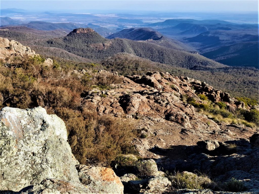
The next day we ventured off the Bingera Road onto Allambie Road in search of Waa Gorge in the northern section of Mt Kaputar. The road crossed grazing properties and required access through six gates. These extra duties fall to the co-pilot. The walk was short but the climb to view it from the top was difficult. The water falls through three pools in the gorge to the creek below. The views from the top were worth the climb.
Travelling further east we spent the night camped behind the Gravesend Hotel on the Gwydir Highway. The local farmers were a friendly bunch, and, in the bar, we shared drinks and tall tales. (The nearby hills resemble the mound of two graves, reputedly inspiring the town name). Gravesend was previously the site of a research station breeding cactoblastis moths. The insects were later released to eradicate a devastating prickly pear infestation on properties.
HOMEWARD BOUND
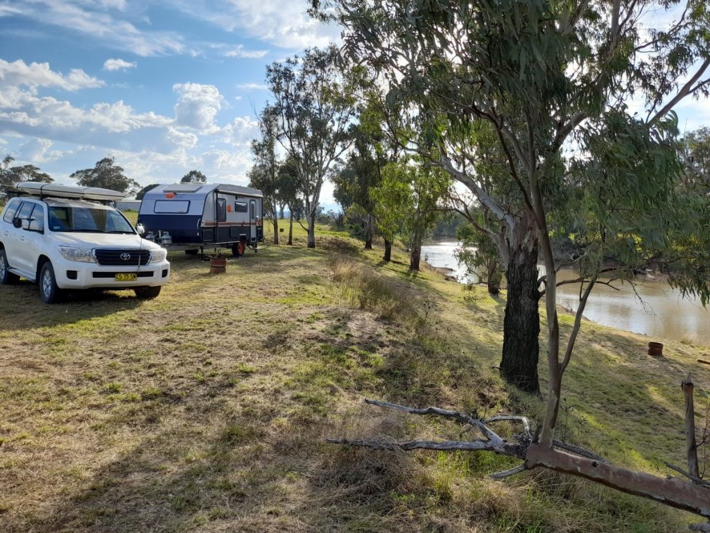
Continuing our thrust towards home, we called into the Inverell Information Centre and received a list of local farm stays and B&Bs. A couple of phone calls revealed the local properties didn’t cater for caravanners. But the friendly folks at ‘Sharron Park’, established in 1870, offered us a campsite in one of their paddocks. We were made very welcome and quite a fuss was made by Cathryn. She lead us on her quad bike to one of their favourite spots on the banks of a small creek. Their two dogs frolicked around us. John turned up with a fire pit for us which he had fashioned out of a washing machine barrel. We spent the evening around the campfire under a star-filled sky.
Next morning, we called into the homestead to issue our thanks and say farewell. Instead, we were taken on a tour by 80-year-old John through his amazing machinery and carpentry sheds! We were stunned to see he was building an aeroplane with timber he cut on the property for the super structure. He milled the timber himself.
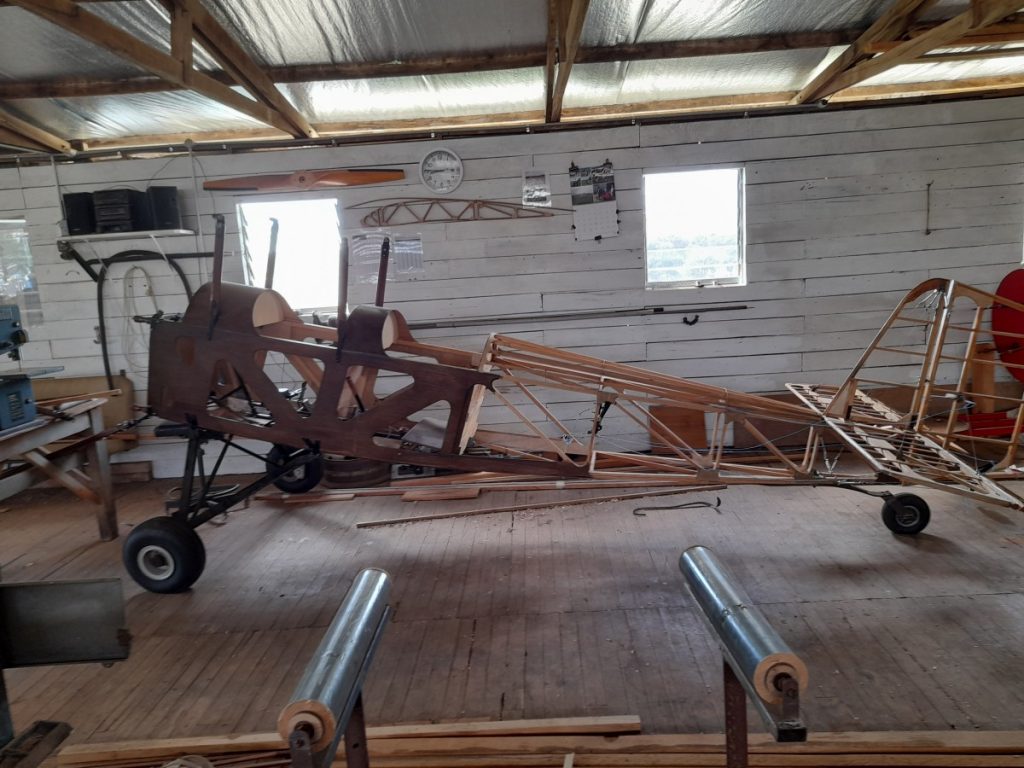
Our visit enthused John to maybe extend their B&B business and install camping facilities. A third generation will be taking over the reins in the near future. Cathryn’s retirement plan is to host the B&B in the 5-bedroom homestead, whilst John (who is a qualified pilot) will finish his plane and consider welcoming caravanners.
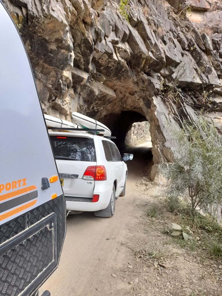
Further along the way we diverted off the Gwydir Highway on a steep descent to the Mann River Nature Reserve camping area. It had been very nicely restored following the recent fires. The Old Grafton- Glen Innes Road took us past the ruins of the gold mining town of Dalmorton. Then, along the banks of the Boyd River and through a convict-cut tunnel, back onto the Gwydir Highway. It was homeward bound, to clean the red dust out of the caravan!
Have you gone on a great adventure lately? Email us! Nicole@sunkissmedia.com.au
Want to read more about cara-ventures? Click here to find out about a Trout-Fishing Heaven!

Editor for Silver Magazine Gold Coast
